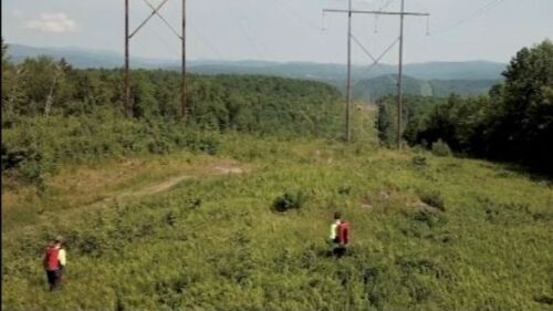
India advancing SAR payloads on small satellites for infrastructure mapping, terrain analysis & surveillance. #SAR #SatelliteInfra #RemoteSensing #PlaneteyeInfraAI
Search
Built a soil classifier for African savannas with 60% less error using imbalanced data tricks. Turns out preprocessing Sentinel bands > throwing GPUs at the problem. The real hack? Strategic synthetic data generation. 🌍🛰️
#ML #RemoteSensing #MachineLearning #DataScience
4
It’s time to brush up on the basics! Our next webinar takes a deep dive into Remote Sensing Fundamentals with Nick Ferguson, LiveEO's Chief Evangelist and UVM Podcast host. Mark your calendar for April 22 and register today, tinyurl.com/4tuww6pf #RemoteSensing #Webinar #UVM
17
Satellite captured unique fingerprint of giant Pacific earthquake #satellitedata #remotesensing #tsunami #earthquake
dtu.dk/english/news/a…
13
New Satellite’s Observations Close Blind Spot in Tsunami Science @UCSanDiego #satellitedata #remotesensing #tsunami #earthquake
today.ucsd.edu/story/new-sate…
New Satellite’s Observations Close Blind Spot in Tsunami Science
An international research team of scientists from UC San Diego's Scripps Institution of Oceanography and San Diego State University has used the Surface Water and Ocean Topography (SWOT) satellite to...
From today.ucsd.edu 10
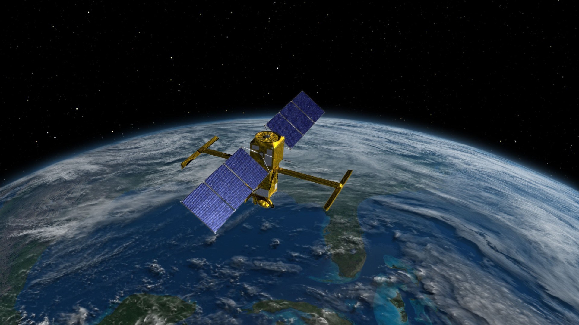
EarthDaily’s first satellite, EDC-01, is now operational! 🛰️🌍
The constellation will provide daily, science-grade imagery to monitor change. Six more satellites will launch in May.spacenews.com/earthdaily-in-…M0
#Geoawesome #EarthObservation #RemoteSensing #Climate
1
138
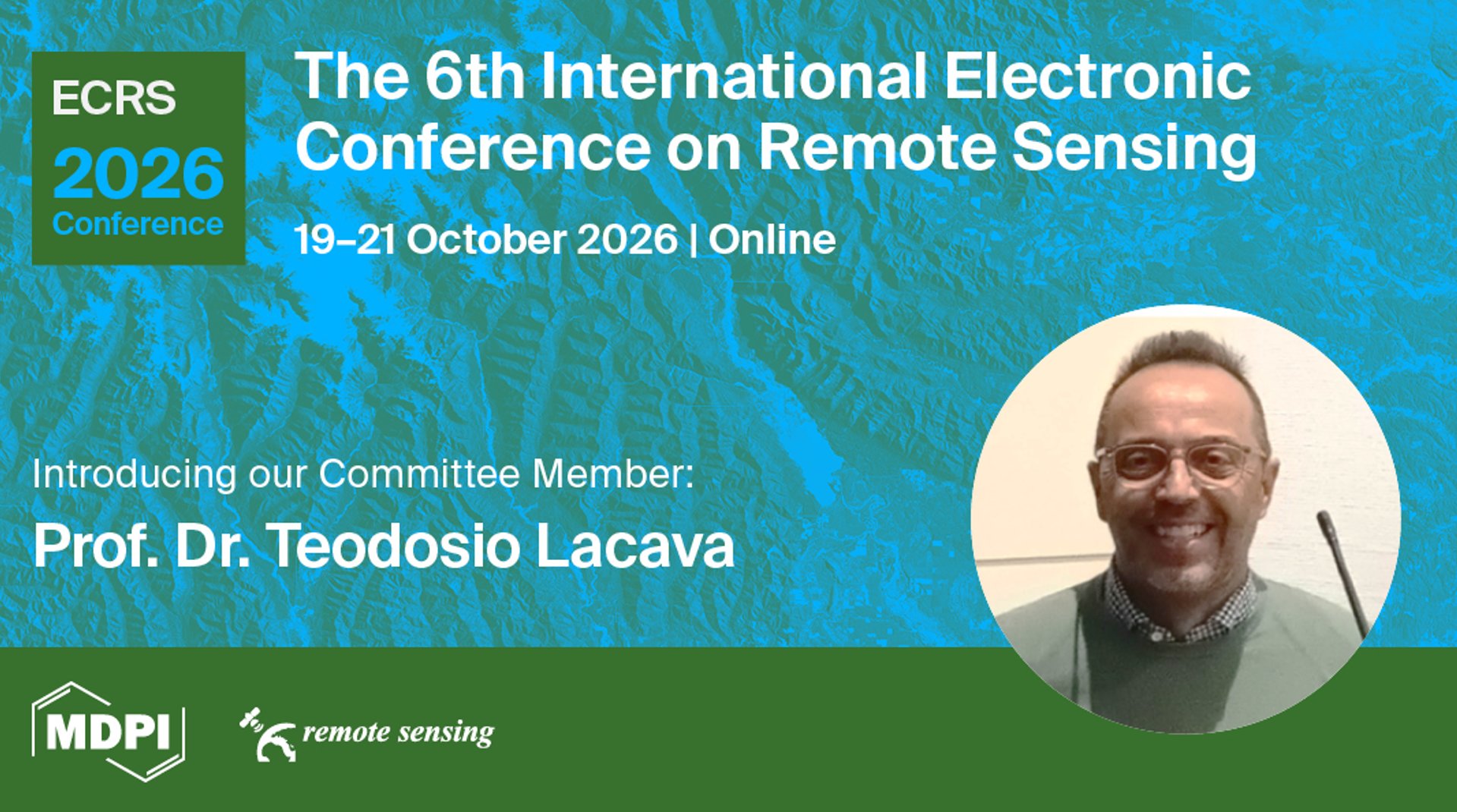
📍The 6th International Electronic Conference on Remote Sensing
brnw.ch/21x16LNUK
🥳New Committee Member: Prof. Dr. Teodosio Lacava
✍️Submit abstracbrnw.ch/21x16LOdA3
✅FREE registratiobrnw.ch/21x16LMJPO
#ECRS2026 #RemoteSensing #Onlineconferend5C
2
5
198
🚨 3 days until the webinar goes live!
Finish your FREE registration in advance, mark your calendars🗓️, and get ready!
🔔Join uus02web.zoom.us/webinar/regist…8Bc
#Webinar #RemoteSensing #Geophysics
From us02web.zoom.us
🌍 Join Us for the EO&GEO Series Webinar! 🛰️
EO&GEO Series: Geo-layers interactions before #earthquakes and other Natural Hazards
📅 Date: 30 March 2026
⏰ Time: 09:00 am CEST | 03:00 pm CST Asia
🔗 FREE registratibrnw.ch/21x0RgTuCHR
#RemoteSensing #NaturalHazEP91
2
6
358
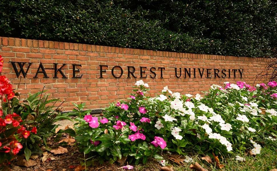
🛰️ Visiting Assistant Professor
Remote Sensing • GIS • Sustainability
📍 Wake Forest University
📆 Deadline: March 3apply.interfolio.com/182823ofqU
#AcademicJobs #GIS #RemoteSens7cuE
1
1
26
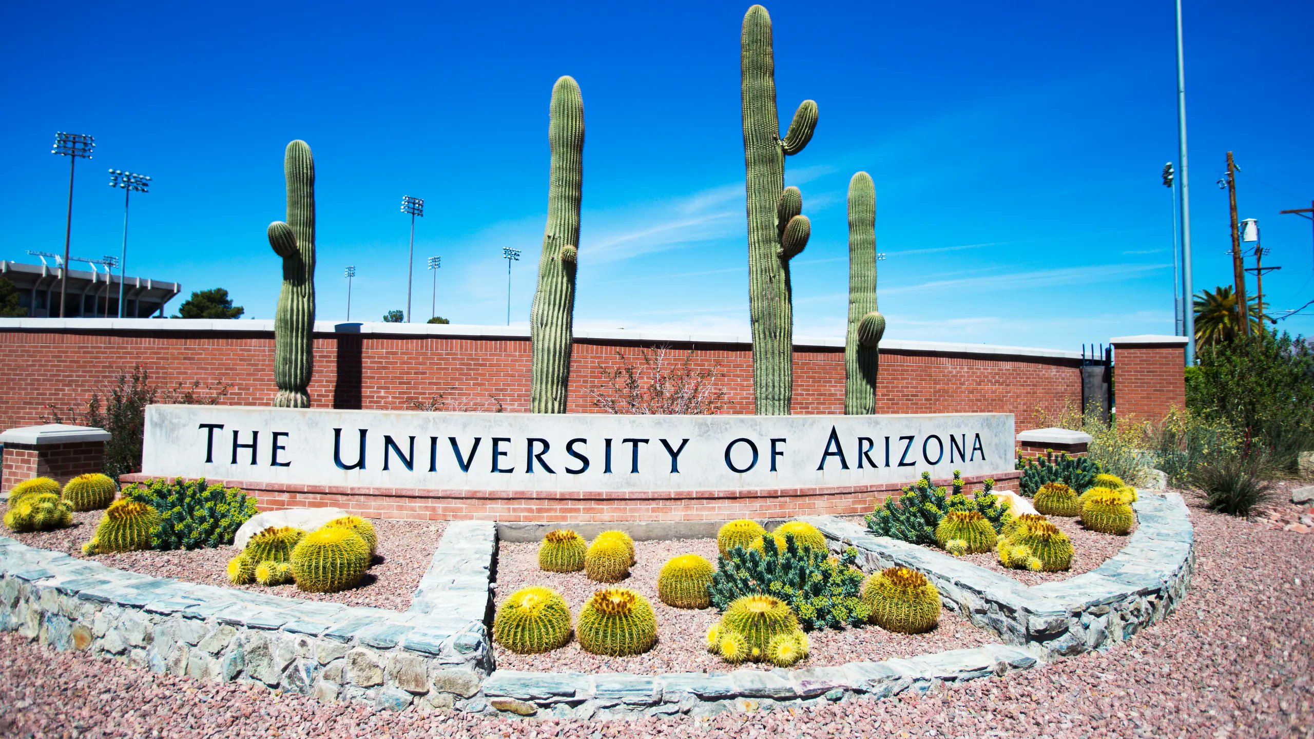
🛰️ Associate Research Professor
Geological Remote Sensing • Hyperspectral
📍 University of Arizona
💰 ~$110K
Applshorturl.at/mlZvF51W
#RemoteSensing #Geology #GWGH
1
1
25
A warning that reaches a subsistence farmer in a flood-prone valley. #EW4ALL's four pillars address this end-to-end:
1. Risk knowledge
2. Observation & forecasting
3. Dissemination
4. Preparedness to act
earlywarningsforall.org/site/early-war…
For the #GIS and #RemoteSensing community,
1
8
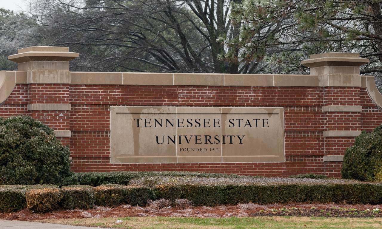
🛰️ Research Assistant — GIS & Land Mapping
Tennessee State University
Agriculture • Drone • GIS
📆 Deadline: April 3
jobs.tnstate.edu/postings/10487kTk
#GIS #RemoteSensing #AgTeFH9
1
1
24
From @California to @AbuDhabi, @HEATRSD has operated #EDAR #RemoteSensing for governments around the world. Measuring #RealDrivingEmissions is the best way to find High-emitters for repair or removal. t.ly/q7Y-k
22
Only a few seats remain for the 50% discount. Register now to secure your place before the offer closes.
Registration link: studyhacksgeospatial.com/product/google…
#googleearthengine #GIS #remotesensing #ArcGIS #geospatial #QGIS #ArcGISPro #DataDriven #GeoAI

3
5
246
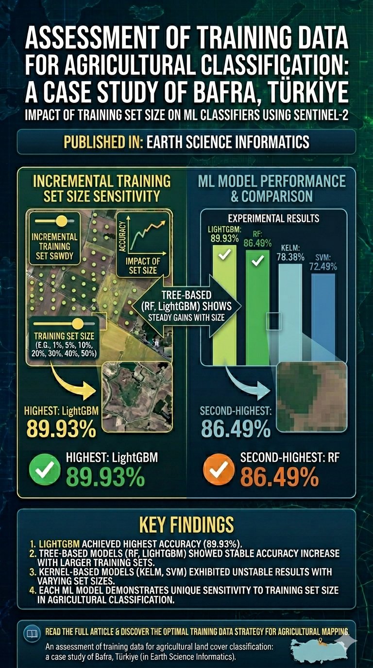
Ustuner, M., Simsek, F.F. An assessment of training data for agricultural land cover classification: a case study of Bafra, Türkiye. Earth Sci Inform 18, 7 (2025). #remotesensing
doi.org/10.1007/s12145…
5
215
Microwave vegetation monitoring gets a climate upgrade
#RemoteSensing #EnvironmentalMonitoring #pressrelease #pressreleaseservice @247pressnews
Press release: 24-7pressrelease.com/press-release/…
2
GeoPoint’s Remote Sensing / LiDAR services bring next-level visibility and accuracy to complex projects.
• UAS photogrammetry
• LiDAR scanning
• Advanced hyperspectral imaging
• FAA-certified pilots
geopoint.org
#GeoPoint #RemoteSensing #LiDAR #Geospatial
10
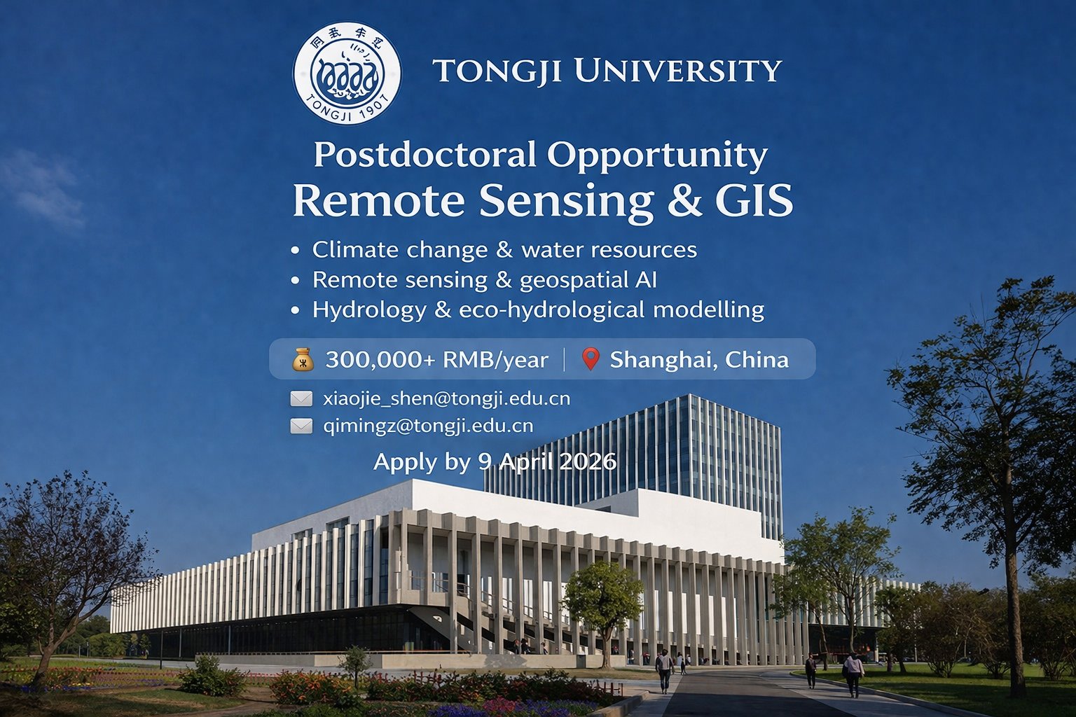
🛰️ Postdoc — Remote Sensing & GIS
Climate • Hydrology • Geospatial AI
💰 300k+ RMB
📍 Shanghai
📩 Apply :
• xiaojie_shen@tongji.edu.cn
• qimingz@tongji.edu.cn
#Postdoc #RemoteSensing #NXiP
1
1
48
9
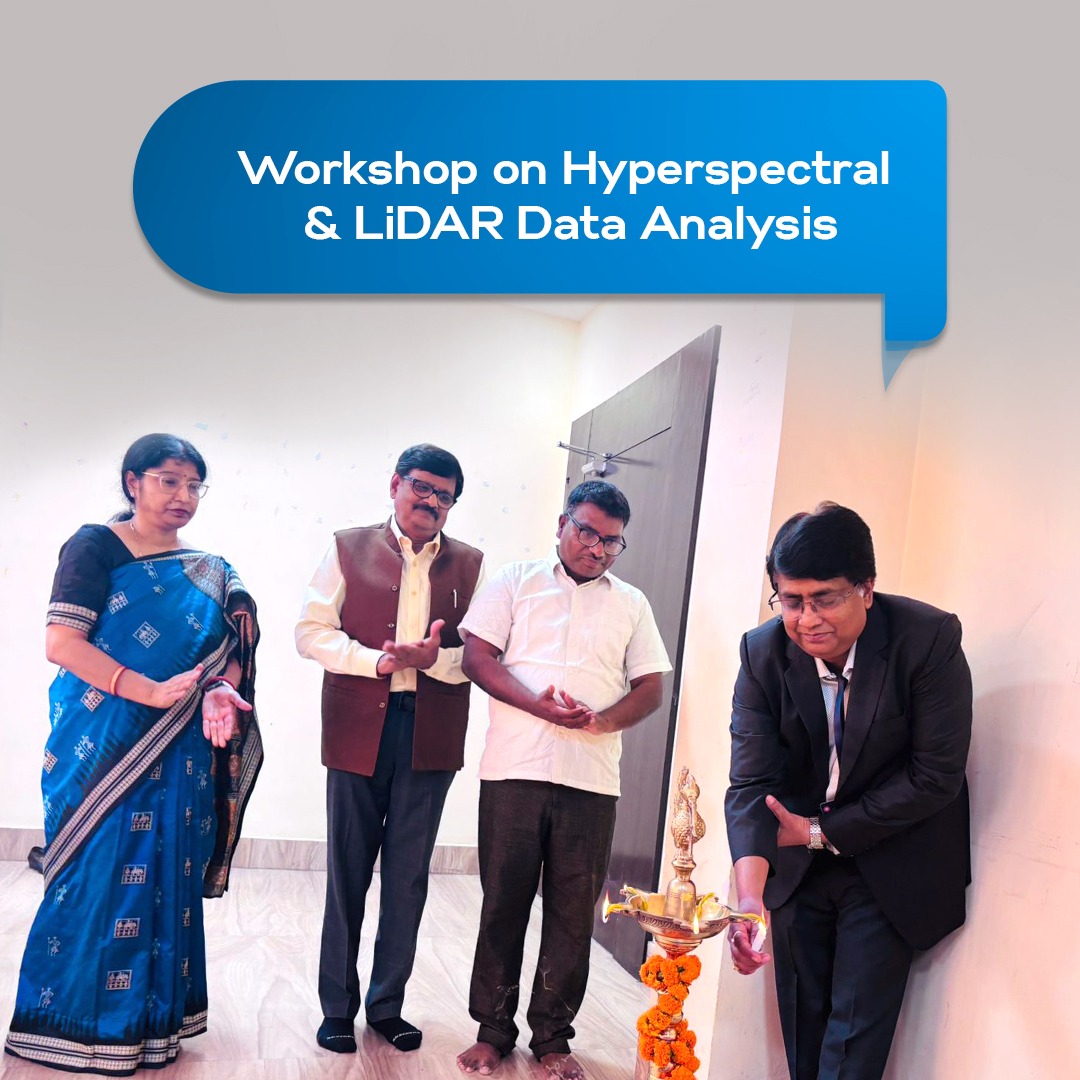
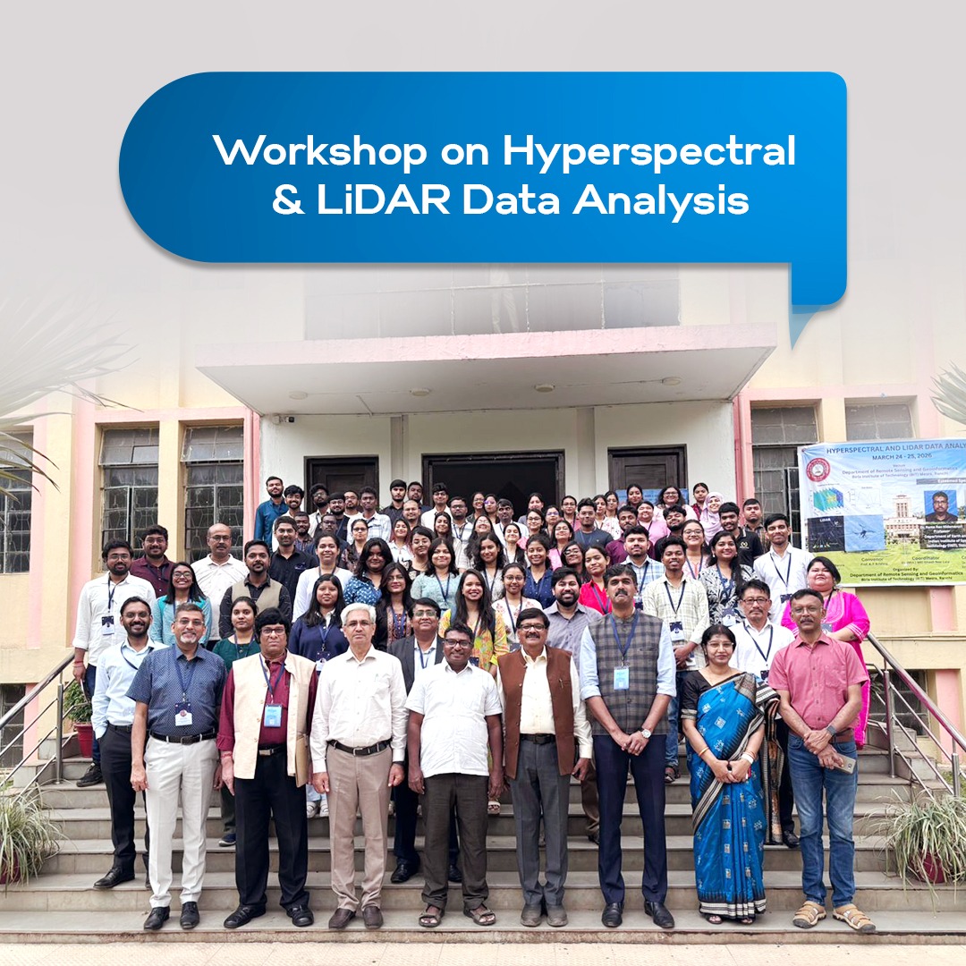
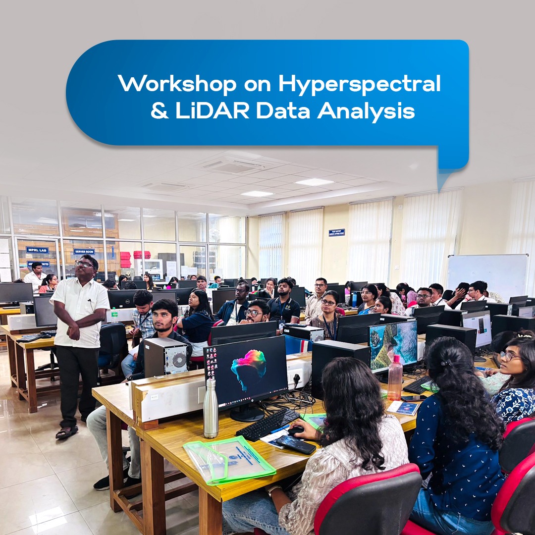
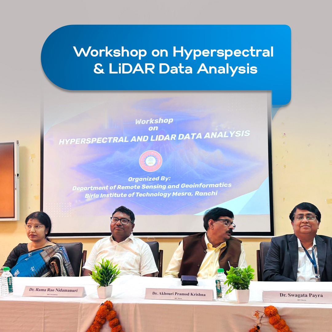
Mapping the future! The Dept of #RemoteSensing & #Geoinformatics at BIT Mesra held a workshop on Hyperspectral & LiDAR Data Analysis. Featuring a keynote by Dr. N. Rama Rao (IIST) + hands-on training in resource mapping & environmental monitoring. #BITMesra #LiDAR #Tech
34