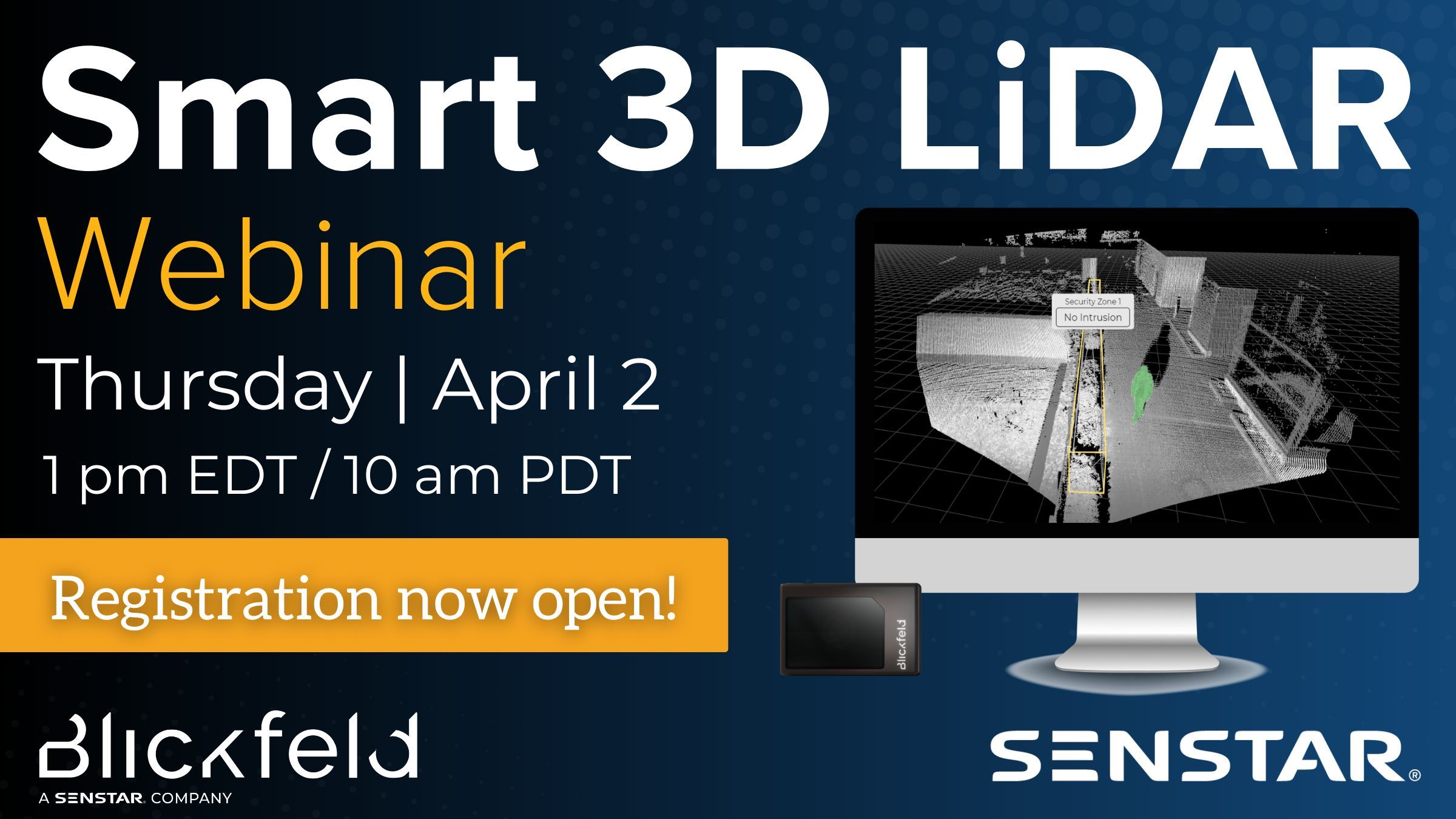
Senstar Corporation
Senstar Corporation @SenstarCorp ·
WEBINAR ALERT! Join Andreas Bollu (Blickfeld) & Guy Walker (Senstar) for exclusive insights into 3D #LiDAR technology, real-world application scenarios, and practical guidance on integrating 3D LiDAR into existing security infrastructure. Register today ➜ buff.ly/ts41m72
3
Hiδεhiκo MURAO 🌗
Hiδεhiκo MURAO 🌗 @HidehikoMURAO ·
Replying to @HidehikoMURAO
#切り株 を見つけると #LiDAR でスキャンしたくなるようになりました.何故、切り株に惹かれるのかはわかりません…. Whenever I find a tree stump, I feel compelled to scan it with LiDAR. I don't know why I'm drawn to tree stumps...
1
14
JTheta.AI
JTheta.AI @JThetaAI ·
AI isn’t breaking where you think. Most teams optimize models… while training on broken data. Result? High accuracy. Wrong outcomes. We spent March fixing this ↓ (LiDAR, annotation, real-world AI) 👉 AI fails at the data layer first. #AI #MachineLearning #LiDAR4
10
SkyGIS
SkyGIS @skygisapp ·
Measure smarter with #SkyGIS 📏🌍 Planar & 3D distances, elevation differences, and area tools—all in one place. Stay organized with measurement history & custom labels. Measure your world with confidence 🚀 Try now skygis.cloudd8M ☁️ #skygis #lidar #gis #pointclowPg
3
Van Harten Surveying
Van Harten Surveying @VanHartenSurvey ·
New technology is changing how sites are measured and understood. UAVs, LiDAR, and 3D scanning provide faster data collection, detailed terrain models, and better design coordination. Van Harten uses advanced tools to deliver smarter site data. #VanHarten #LiDAR
6