Nye O'Neil
Nye O'Neil @NyeBowman ·
The latest two releases in the @UK_CEH Land Cover Map (LCM) series, (LCM2022) and LCM2023 
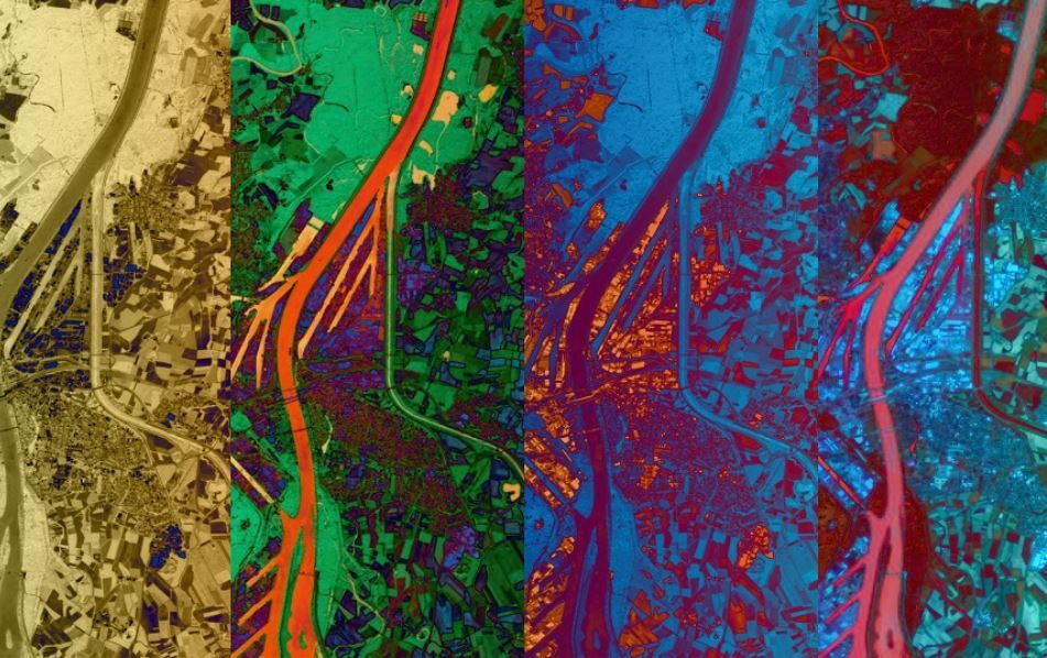
Produced by classifying satellite images from the respective years, each new LCM comprises geospatial datasets describing the UK land surface #remotesensing #LandCoverMap
UKCEH UKCEH @UK_CEH ·
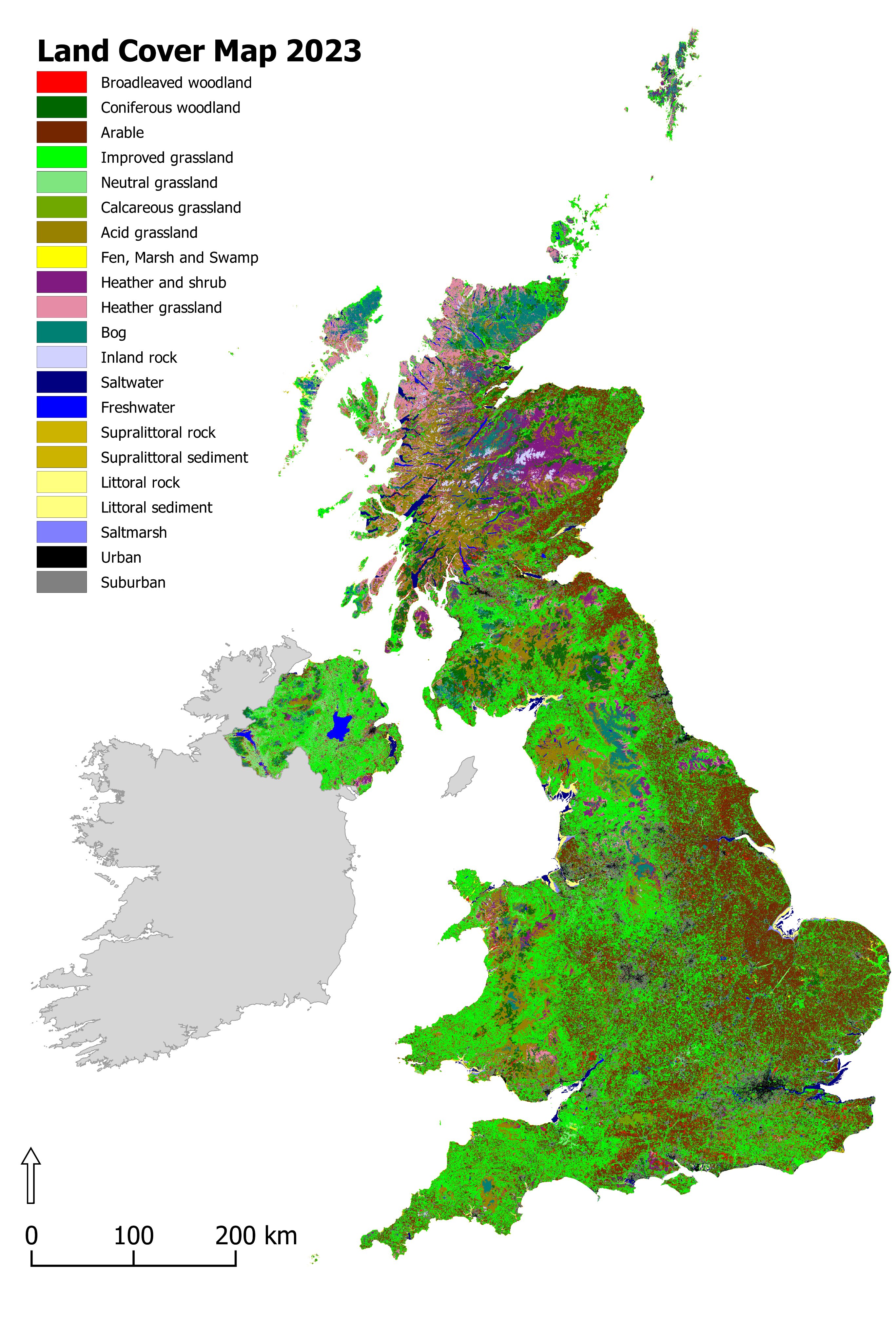
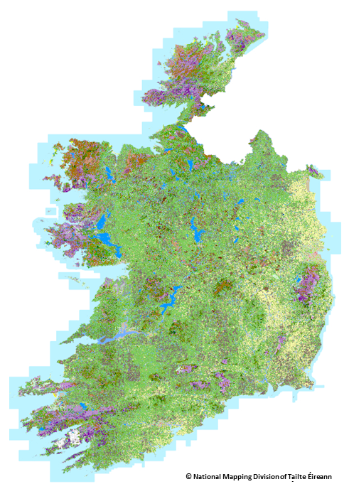
UPDATE: The UKCEH Land Cover Maps for 2022 and 2023 have been released. These additions to our LCM series describe the physical material on the surface of the country, using high-resolution satellite imagery. Discover the collection: catalogue.ceh.ac.uk/documents/c007… #LandCover #GIS
1
1
1.3K
Nye O'Neil
Nye O'Neil @NyeBowman ·
Latest @UK_CEH Land Cover Maps for GB and Northern Ireland available from @EIDC_data, led by @DrChrisMarston1 and @ClareRowland_UK Data is available at 10m, 25m and vector formats catalogue.ceh.ac.uk/documents/0173… #RemoteSensing #LandCover #LandCoverMap #GoogleEarthEngine #GEE
EIDC EIDC @EIDC_data ·
The latest version of UKCEH's land cover map has just been published. You can download the Land Cover Map 2021 for Great Britain and Northern Ireland from our data catalogue catalogue.ceh.ac.uk/documents/0173…
2
Esri Bulgaria
Esri Bulgaria @esribulgaria ·
#Esri реализира първата по рода си Глобална карта на земното покритие с висока резолюция! Тя може да се комбинира с други данни за откриване и проследяване на настъпили промени на земната повърхност. Разгледайте картата: livingatlas.arcgis.com/landcover #гис #LandCoverMap
Nye O'Neil
Nye O'Neil @NyeBowman ·
Our #LandCoverMap development paper is a @RemoteSens_MDPI's #RSHighlyCitedPaper! Using @USGSLandsat and Sentinel-1 & 2 data from @CopernicusEU to provide a great foundation for #LCM2019, due out later this year @UK_CEH @UKCEHPapers #ukscape #GoogleEarthEngine #RemoteSensing
Remote Sensing MDPI Remote Sensing MDPI @RemoteSens_MDPI ·
#RSHighlyCitedPaper Evaluating Combinations of Temporally Aggregated #Sentinel-1, Sentinel-2 and #Landsat 8 for #LandCover Mapping with #GoogleEarthEngine By Luis Carrasco, Aneurin W. O’Neil, et al. �mdpi.com/2072-4292/11/3…Q #remotesensing #cloudcomputing #datafusion #radarp
2
2
UKCEH
UKCEH @UK_CEH ·
Costigan: Strong policy drivers for use of #landcovermap; lcm2007 seems a significant improvement on the already useful earlier versions