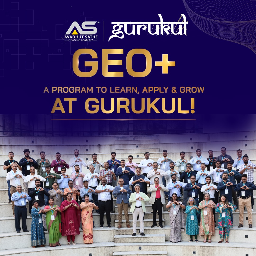
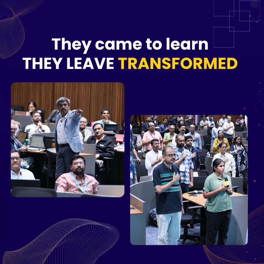
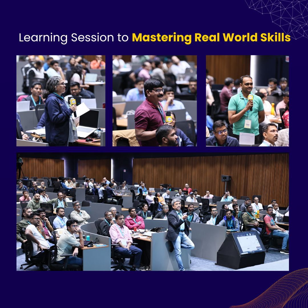
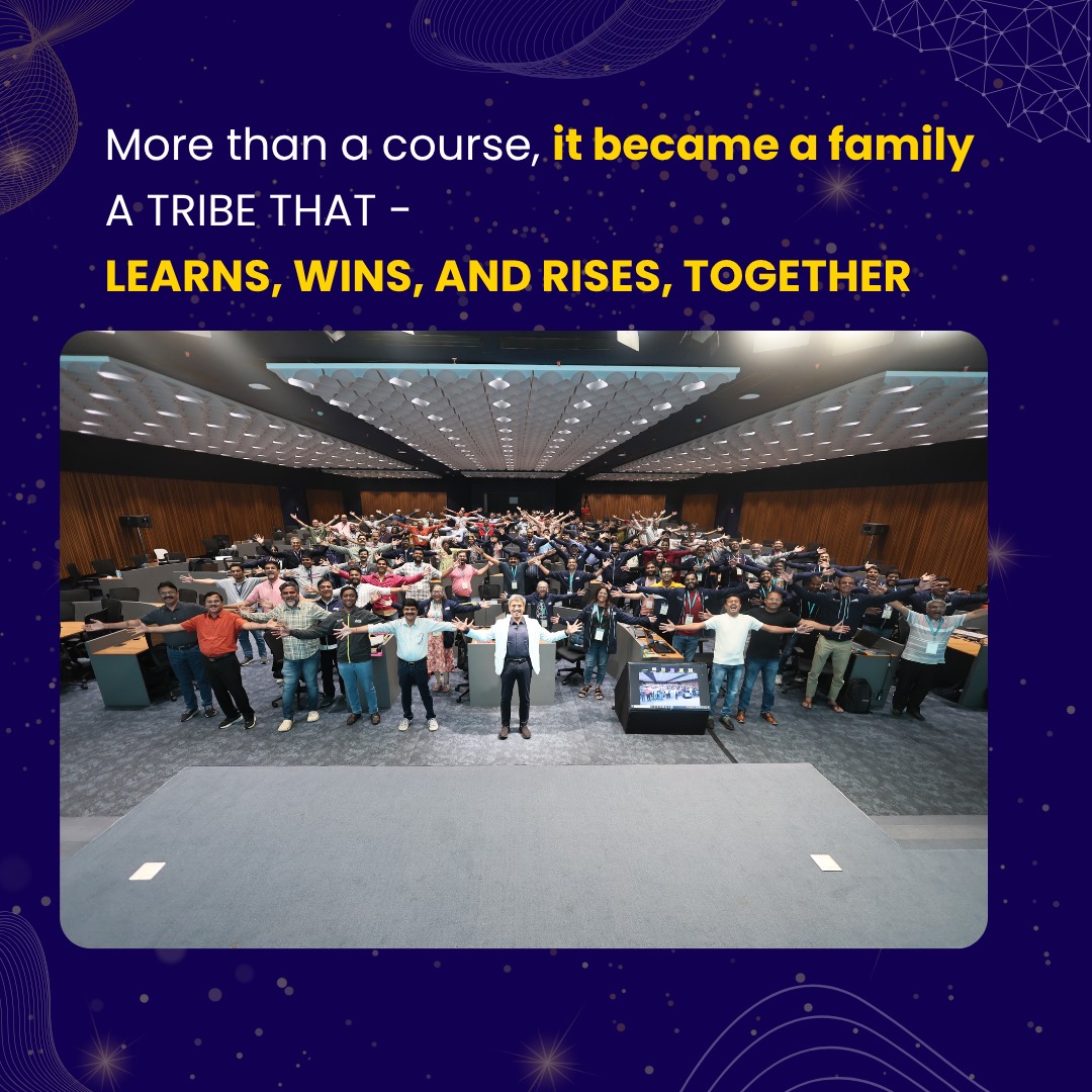
Geo-Plus
Geo-Plus @GeoPlusSoft ·
Get ready for an amazing experience at BIM World 2025 in Paris! 🌟 Join us at Booth B21 to explore the forefront of BIM. Don't miss the chance to claim your free hall pass using promo code BU66 on the following link: lnkd.in/g6F8UNV #BIMWorld2025 #GeoPlusQ
54
Geo-Plus
Geo-Plus @GeoPlusSoft ·
LiDAR Use Cases Across Various Industries geo-plus.com/lidar-use-case… #VisionLidar #PointCloud #GeoPlus #Lidar #AEC #VirtualSurveying #SmartCity #BIM #CIM #Manufacturing #Mining #Infrastructure #transportation #Utilities #DigitalTwin #VisionLidar365
LiDAR Use Cases Across Various Industries

LiDAR (Light Detection and Ranging) is a pretty amazing remote sensing technology that's totally changed the way we collect and analyze geospatial data. LiDAR sensors can generate high-resolution,...

From geo-plus.com
70
Geo-Plus
Geo-Plus @GeoPlusSoft ·
Understanding the Types of Deliverables Produced from a Point Cloud geo-plus.com/understanding-… #VisionLidar #PointCloud #GeoPlus #Lidar #AEC #VirtualSurveying #SmartCity #BIM #CIM #Manufacturing #Mining #Infrastructure #transportation #Utilities #DigitalTwin #VisionLidar365
Understanding the Types of Deliverables Produced from a Point Cloud

LiDAR (Light Detection and Ranging) is a pretty amazing remote sensing technology that's totally changed the way we collect and analyze geospatial data. LiDAR sensors can generate high-resolution,...

From geo-plus.com
78
Geo-Plus
Geo-Plus @GeoPlusSoft ·
Analyzing Point Cloud Data: Techniques and Applications LiDAR is a pretty amazing remote sensing technology that’s totally changed the way we collect and analyze geospatial data... geo-plus.com/analyzing-poin… #VisionLidar #PointCloud #GeoPlus #Lidar #AEC #VirtualSurveying #SmartCity
Analyzing Point Cloud Data: Techniques and Applications

LiDAR (Light Detection and Ranging) is a pretty amazing remote sensing technology that's totally changed the way we collect and analyze geospatial data. LiDAR sensors can generate high-resolution,...

From geo-plus.com
30
Geo-Plus
Geo-Plus @GeoPlusSoft ·
LiDAR vs Photogrammetry: Choosing the Right Technology for Your Mapping Needs #VisionLidar #PointCloud #GeoPlus #Lidar #AEC #VirtualSurveying #SmartCity #BIM #CIM #Manufacturing #Mining #Infrastructure #transportation #Utilities #DigitalTwin geo-plus.com/lidar-or-photo…
LiDAR or Photogrammetry? Everything you need to know.

While many believe that LiDAR technology only recently appeared, it was actually created in the 1960s, shortly after the invention of the laser.

From geo-plus.com
83