@Claude didm
@ost of the dirty work. Pulling from a Dropbox backup of my GIS files.
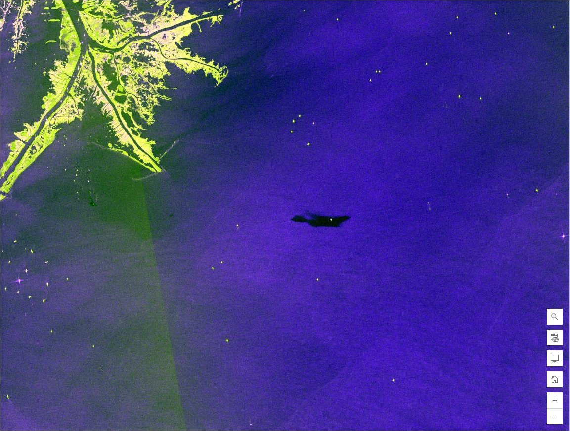
It pulled in ESRI, NAIP and LiDAR data for me. But I also have those in my files.
3D viewer wasn’t to much of a lift for Claude code.
I idea was a simple shape, grd, etc file view that is agnostic to your GIS program. (Ops, sms, GK, etc)