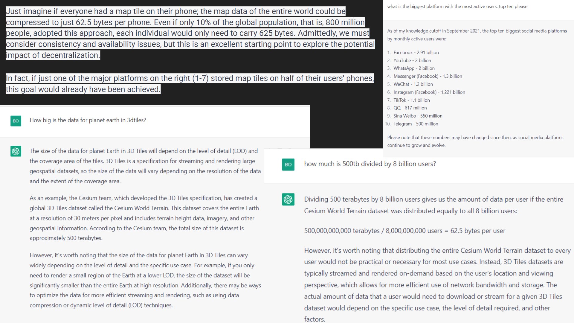
Asjad Naqvi
Asjad Naqvi @AsjadNaqvi ·
Replying to @AsjadNaqvi
There are really cool packages out there as well. For example #getcensus allows direct access to ACS data. See detailed thread here on how to pull the data and map it: x.com/AsjadNaqvi/sta… Also see #hexmaps that are part of the #maptile package for some cool USA maps.
Asjad Naqvi Asjad Naqvi @AsjadNaqvi ·
Just had a comprehensive look at the @Stata #getcensus (ssc install getcensus, replace) package, that allows direct access to @uscensusbureau's ACS datasets. It's maintained by @c_zippel + team: x.com/c_zippel/statu…
1
Randa El Khatib
Randa El Khatib @randaelka ·
geospatial question: I'm looking for a free world map tile that uses English language only and is fairly detailed (at least to the level of naming towns). Please help! #geospatial #maptile
1
Chris Marsicano
Chris Marsicano @ChrisMarsicano ·
Replying to @ChrisMarsicano
@BradCrofford Here's a nice little @Stata #maptile map I made that shows just that: Note that Pennsylvania, Georgia, and Florida (all of which have GOP Senators) are each home to over 50K federal employees. Texas is home to over 100K.